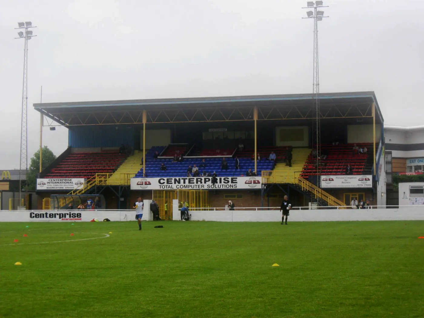

Hampshire Highways has lodged a holding objection to 99 homes on the old Camrose ground. Council open space and landscape officers have objected too.
Hampshire County Council, as highway authority, has lodged a holding objection to the plan for 99 homes on the old Camrose football ground. Its letter, dated 22 October, asks for more information on the site entrance, the internal roads and cycle parking.
It is one of several official responses now on the council’s planning register for application 26/01875/FUL. Two of the borough council’s own teams have objected as well. The county’s flood team says it cannot yet give a view.
The scheme comes from the Sovereign Hill Partnership, a joint venture between the Sovereign housing association and Hill. Its planning statement says all 99 homes would be affordable, subject to grant funding. We reported the application in September.
Where every consultee stands
| Consultee | Date | Position |
|---|---|---|
| Hampshire Highways | 22 Oct | Holding objection until more information is provided |
| Lead Local Flood Authority (Hampshire) | 27 Oct | Cannot give a substantive response yet |
| Council urban design | 27 Oct | No objection subject to major amendments |
| County education | 24 Oct | Asks for £974,933 for secondary school places |
| Council parks and open spaces | 22 Oct | Not acceptable as it stands |
| Council landscape | 4 Nov | Objection, amendments required |
| Council biodiversity | 5 Nov | Acceptable subject to conditions |
| Council transport strategy | 8 Oct | Supports the proposal in principle |
All of these documents are on the planning register’s documents tab.
Parking: 124 spaces for 99 homes
The plan provides 124 car parking spaces, about 1.25 per home. The highway authority says that meets the borough’s adopted standards for inner urban sites, as agreed before the application went in.
It also says it does “not have any concerns in regard to overspill parking”. It adds that parking is a matter for the borough council.
The borough’s landscape officer takes a different view of how the parking is laid out. All of it is on the street or in one parking court, and appears to be unallocated. The officer calls the layout “cramped” and says this would mean “a dominance of car parking within the streetscene”. The response describes the scheme as “indicative of an overdevelopment of the site”.
What the highway authority wants changed
The way in would be from the eastern arm of the Western Way and Buckland Avenue mini roundabout, which the scheme redesigns. The county’s points include:
- The roundabout: there is “little deflection”, so there is “a risk that vehicles would not slow down”
- Bin lorries: turning in, a refuse lorry would overhang the centre line, which “could lead to shunts and rear end collisions”
- Sight lines: some pass through trees, and on bends some cross into front gardens in the south west and south east of the site
- Safety audit: an independent road safety audit raised 11 problems, and the developer agreed with 9
- Cycle parking: the 20 short-stay spaces are “significantly below” the borough’s standard
The county says the site is well served by buses and within walking distance of schools and shops. It expects 352 vehicle trips a day, with 32 in the morning peak and 43 in the evening peak.
Its records show 27 injury collisions near the site over five years, 7 of them serious. About 12 were on the Brighton Hill roundabout, which has since been rebuilt.
If the council wants to decide the application before these points are answered, the county asks to be contacted “for the reasons for refusal”.
Flooding, play space and schools
Flood risk. Hampshire’s flood team says the drainage strategy is only in outline, which is not enough for a full application. It says the site plan shows homes in areas at high risk of surface water flooding. It wants an overlay showing the existing flow route in the north east corner of the site.
Green space. South Ham ward already has 14.63 square metres of multi-functional green space per person. The council’s adopted minimum is 20. The parks team says the 99 homes would bring about 202 residents, and the central green of about 2,558 square metres would fall short of the 4,042 square metres the minimum alone requires. The kickabout area may be about 400 square metres, a quarter of the 1,600 required. The team says the 300 square metre play area does not meet the council’s specification.
School places. The county expects the homes to bring 24 primary and 17 secondary pupils. Kings Furlong infant and junior schools have room. Cranbourne School, the catchment secondary, “is full and forecast to remain full”, so the county wants £974,933 towards extra places.
What residents have said
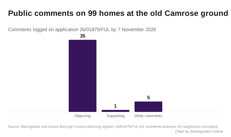
The register records 83 neighbours consulted and 41 comments received: 35 objections and 1 in support.
What happens next
The public consultation period closed on 2 November. The register gives a determination deadline of 8 December 2026, and no committee date has been set.
Holding objections from consultees often lead to revised plans rather than a refusal. The developer can submit amended drawings and more information, and consultees then respond again. The applicant’s own transport assessment and planning statement are on the register alongside these responses.
What it means for you
- Live near Western Way or Buckland Avenue? The access plan changes the whole mini roundabout. Revised drawings, when they come in, will appear on the documents tab.
- Worried about parking near your home? See our guide to parking in Basingstoke for how permits and council car parks work.
Have your say